Besseggen
Ridge hike Besseggen via Veslfjellet (1,743 m) – Jotunheimen, Vågå, Innlandet
2024/06
Norway 
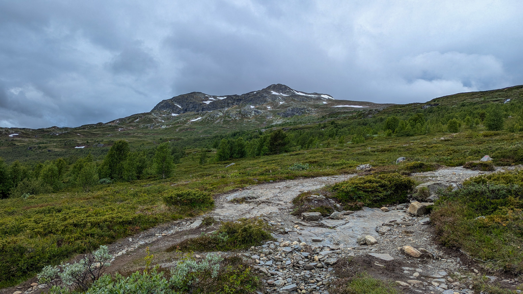
Photo 1: The start of the hike from Bessheim leads through open mountain landscape with a view of the Besseggen ridge.
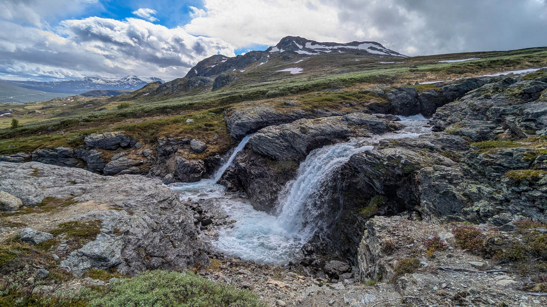
Photo 2: A small waterfall by the hiking trail from Bessheim, fed by melting snow from the surrounding slopes.
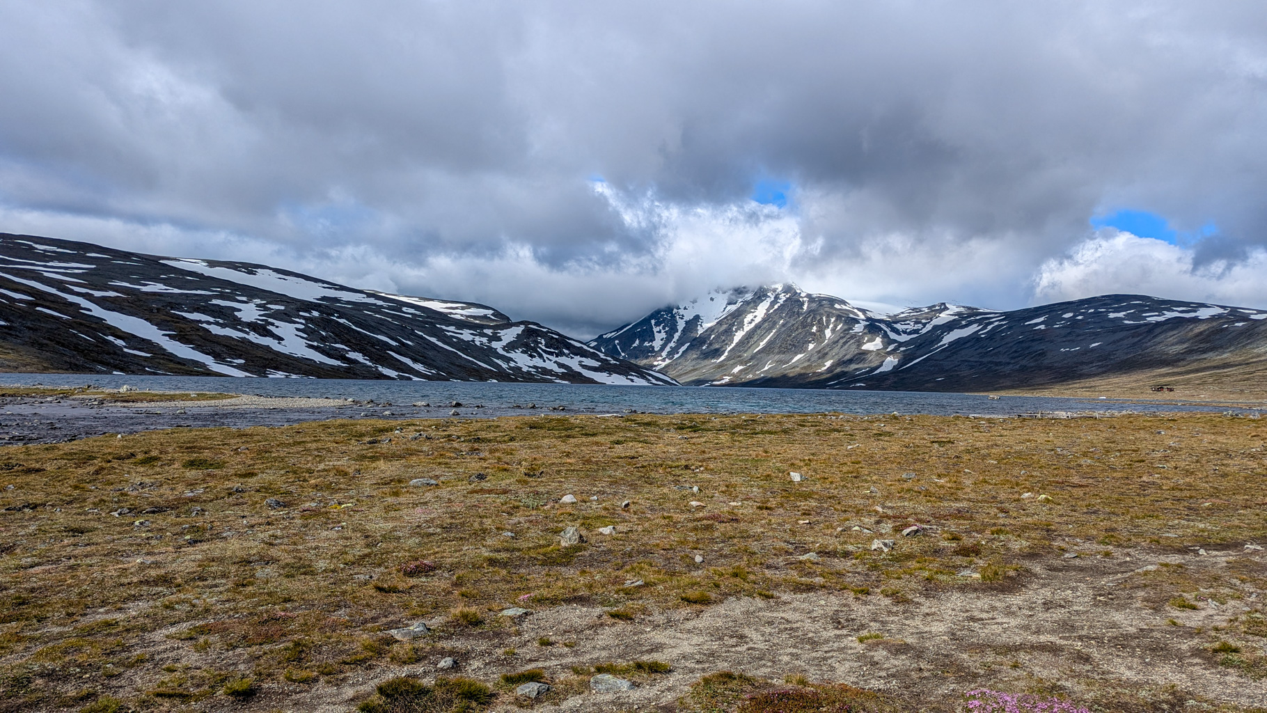
Photo 3: Lake Bessvatnet, towards which the trail leads, sits at an elevation of approximately 1,373 m.
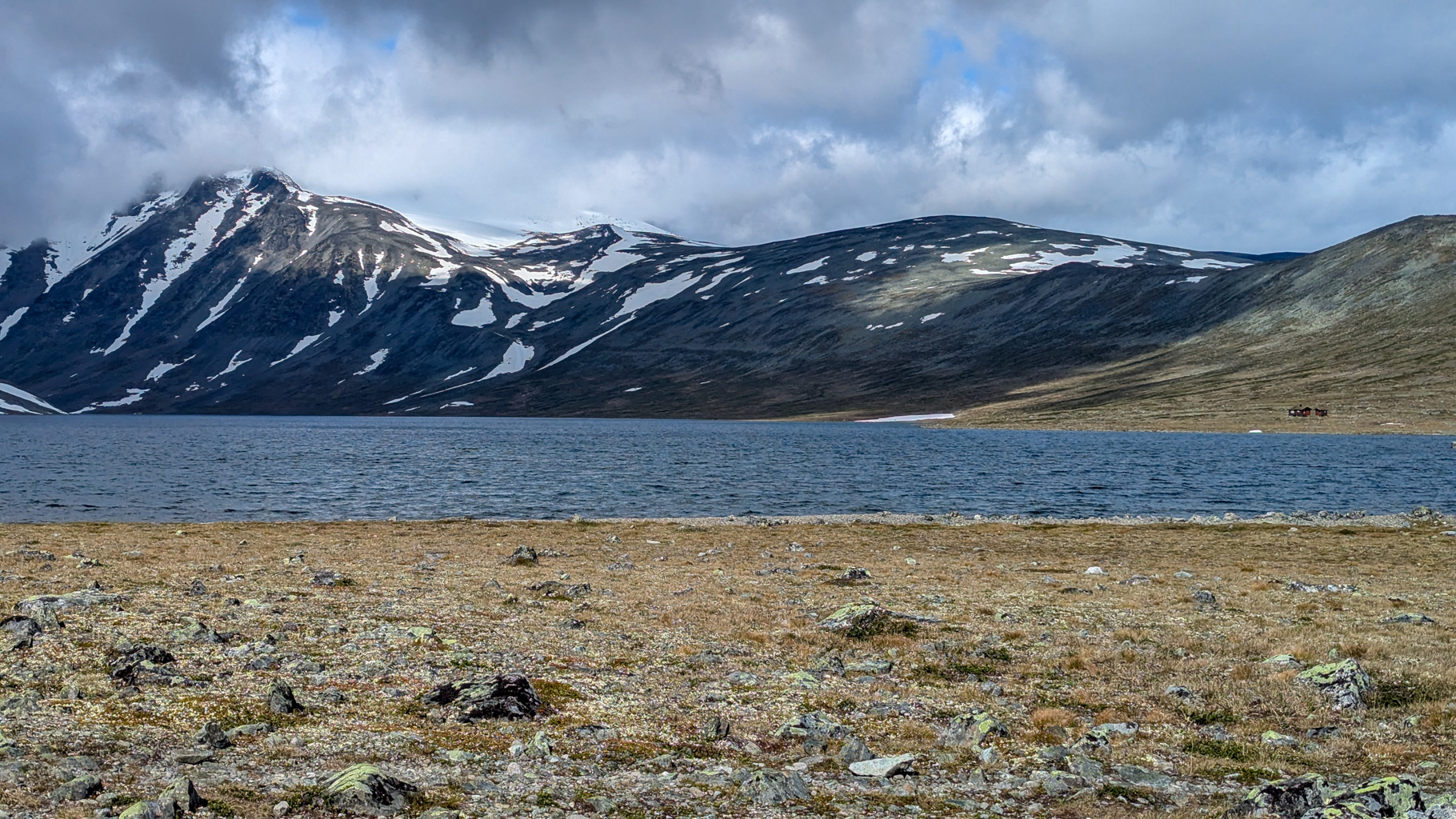
Photo 4: View of Lake Bessvatnet with the Besshø massif in the background (2,258 m), the highest peak in the area.
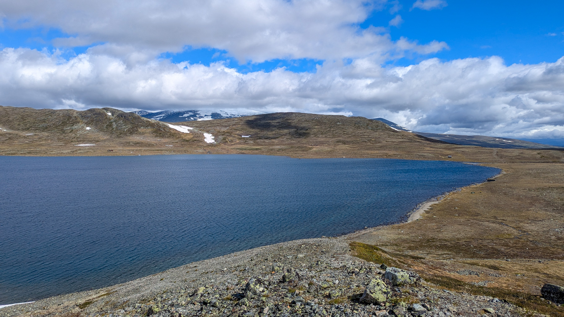
Photo 5: The ascent to the ridge leads along Lake Bessvatnet on a rocky and marked trail.
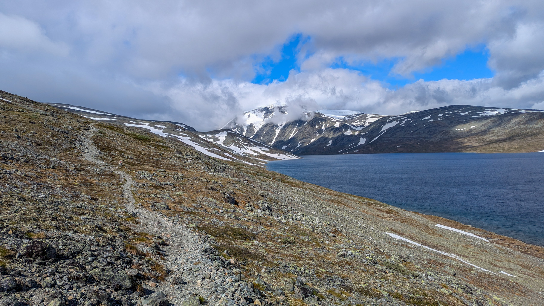
Photo 6: Climbing a rocky path with a view of Lake Bessvatnet on the right and the mountain landscape.
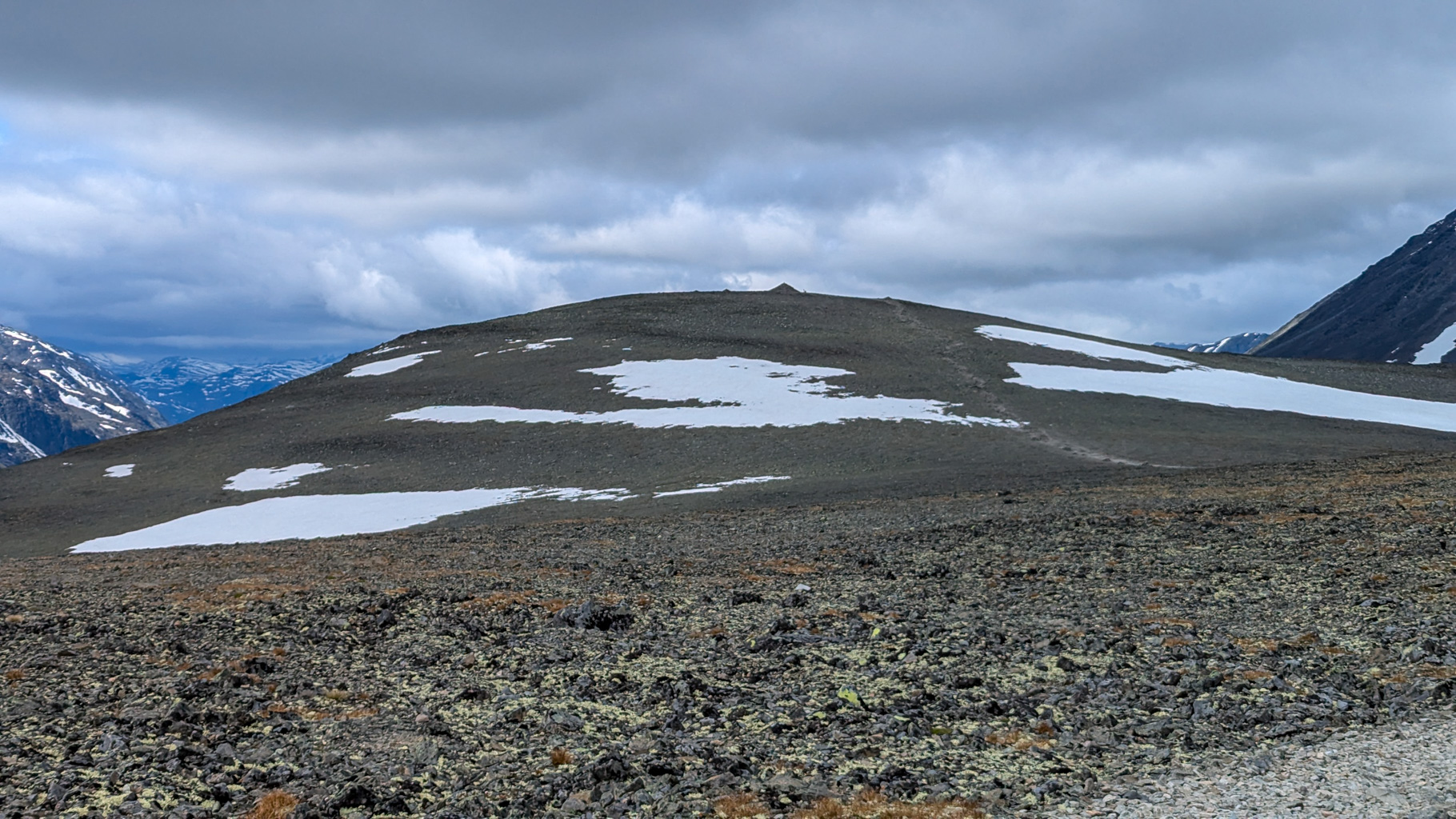
Photo 7: The highest point of the trail is the summit of Veslfjellet (1,743 m), offering views of the Jotunheimen mountains.
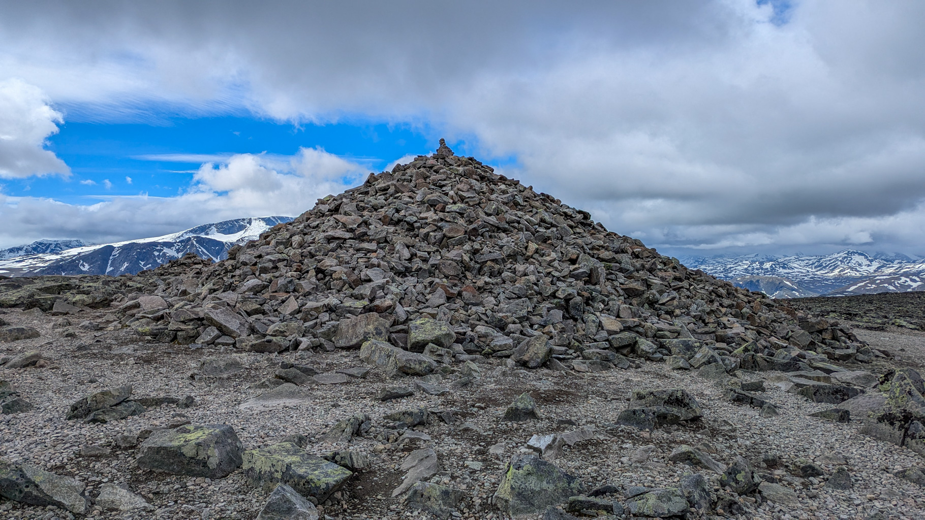
Photo 8: A stone cairn at the summit of Veslfjellet serves as a waymark and resting spot.
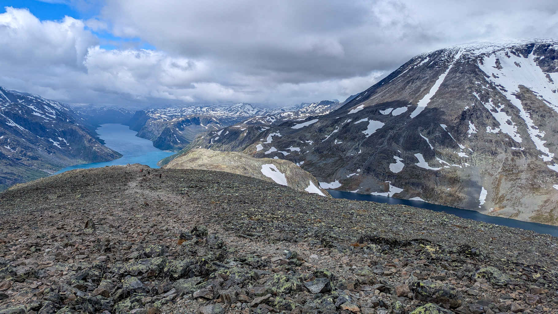
Photo 9: The descent from the Besseggen ridge towards Lake Gjende follows rocky terrain.
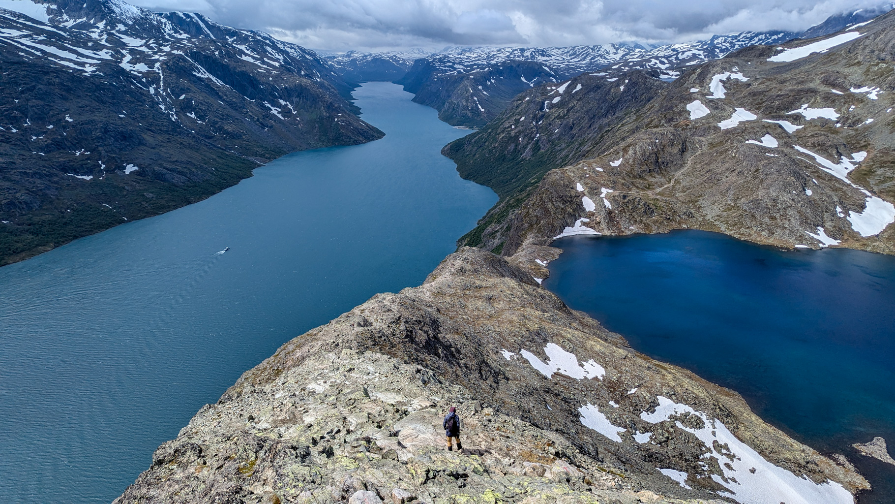
Photo 10: The classic view of the Besseggen ridge between Lakes Gjende and Bessvatnet – the elevation difference between the water levels is more than 400 metres.
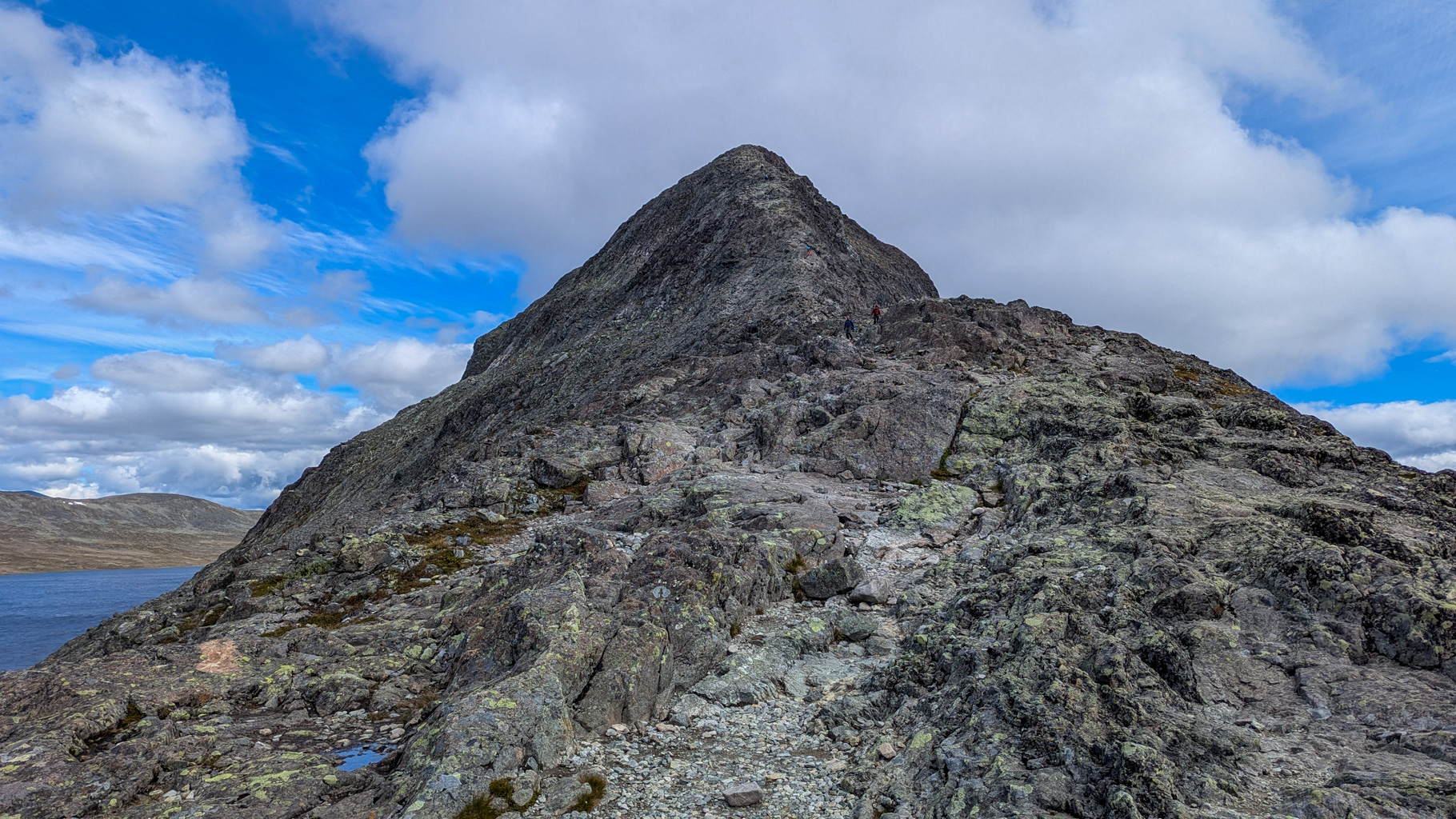
Photo 11: Looking back at the ridge and the summit of Veslfjellet, the highest point of the entire trail.
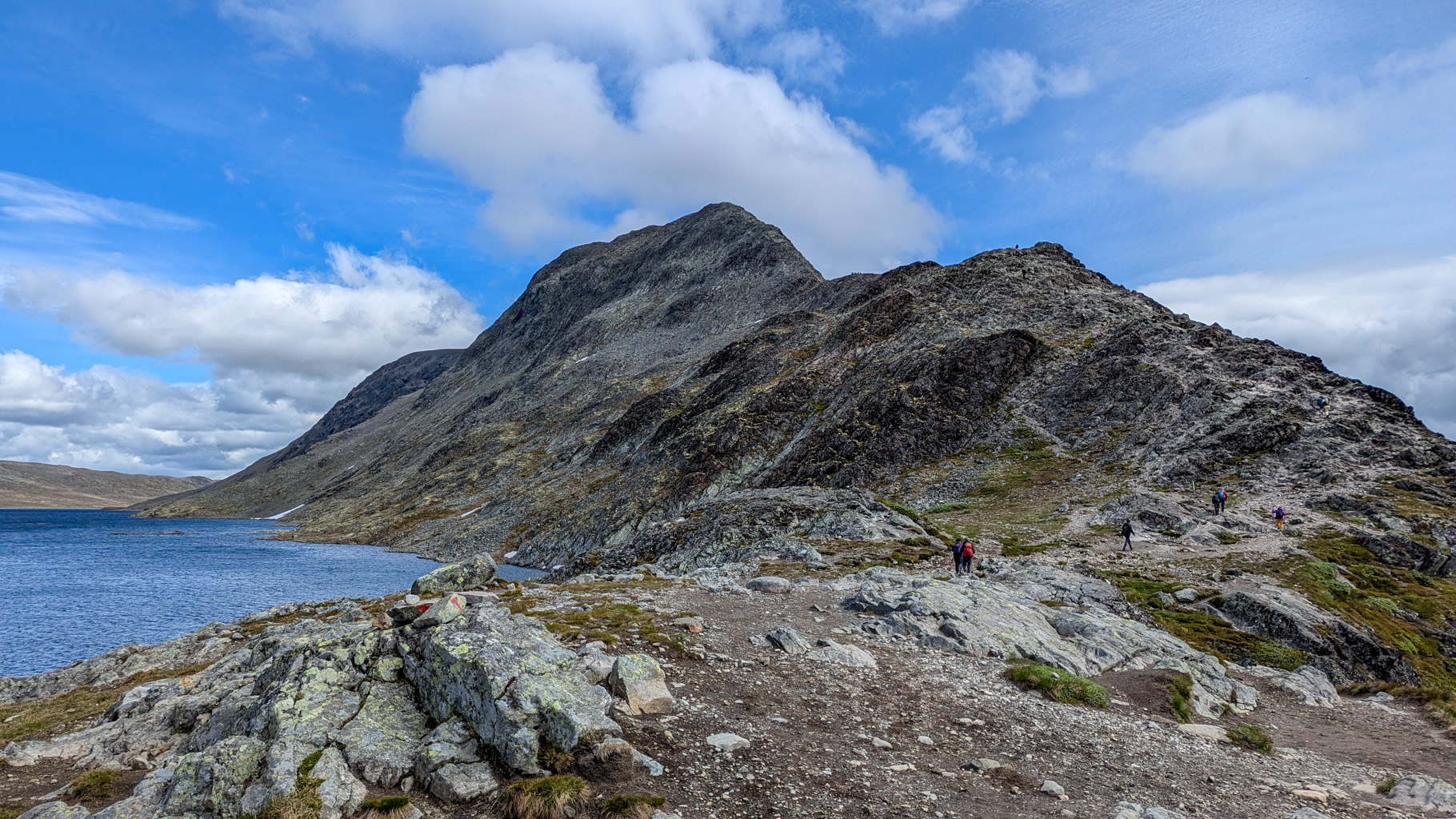
Photo 12: View of the Besseggen ridge from the descent towards Lake Bessvatnet.
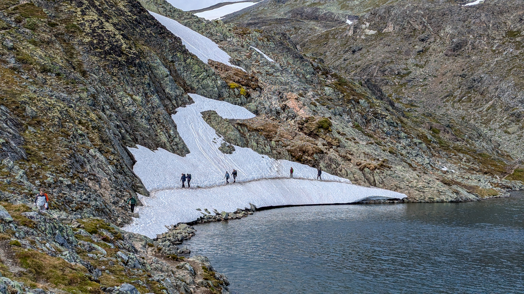
Photo 13: The loop trail around Lake Bessvatnet crosses snow-covered sections even during summer.
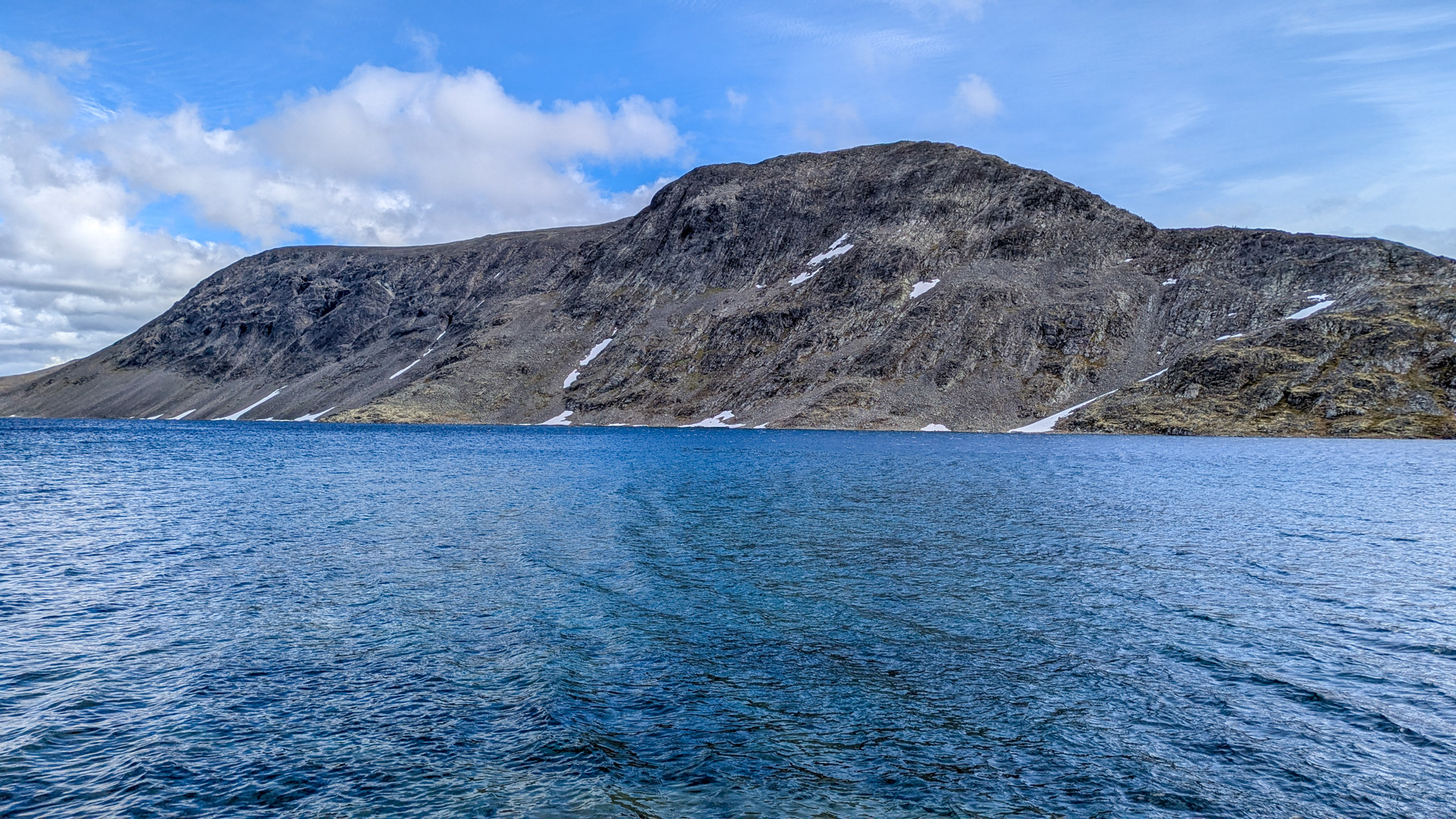
Photo 14: View of the Besseggen ridge from the opposite side of Lake Bessvatnet.
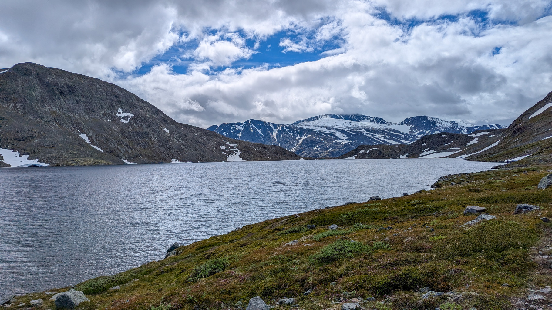
Photo 15: Looking back at Bessvatnet towards Veslfjellet, which dominates the right side of the lake.
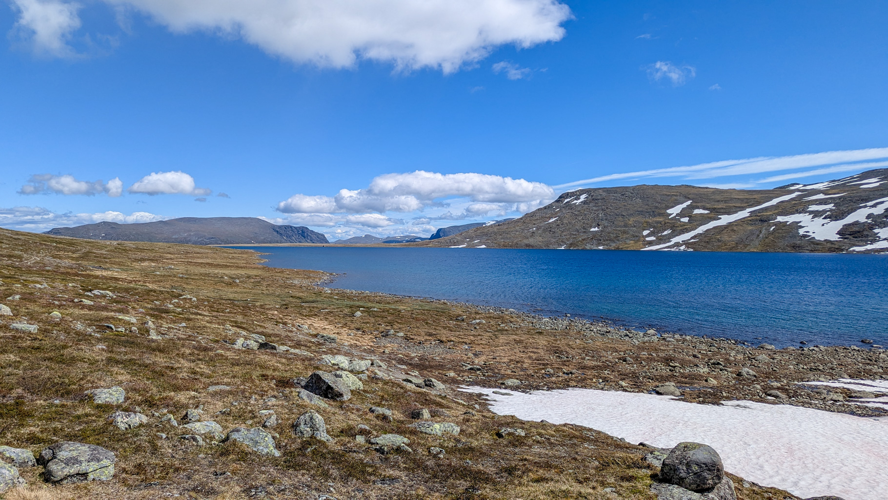
Photo 16: The path below Besshø leads back to Bessheim without trail markings – navigation is more challenging.
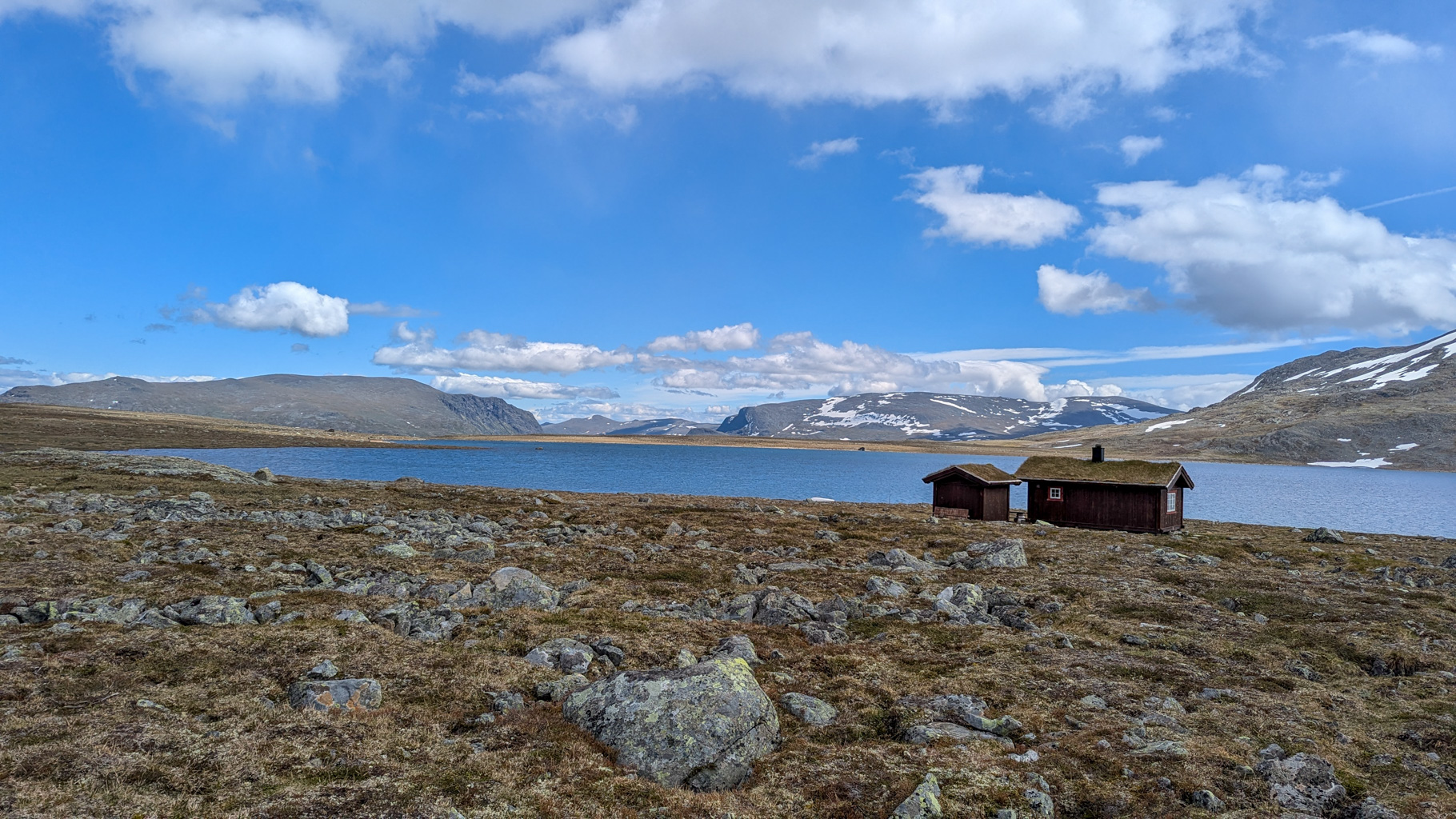
Photo 17: A section of the trail at the end of Lake Bessvatnet with a view of the flatter part of the route.
Video from the Besseggen ridge hike.