Knutshøe
Ridge hike Knutshøe (1,517 m) – Jotunheimen, Vågå, Innlandet
2024/06
Norway 
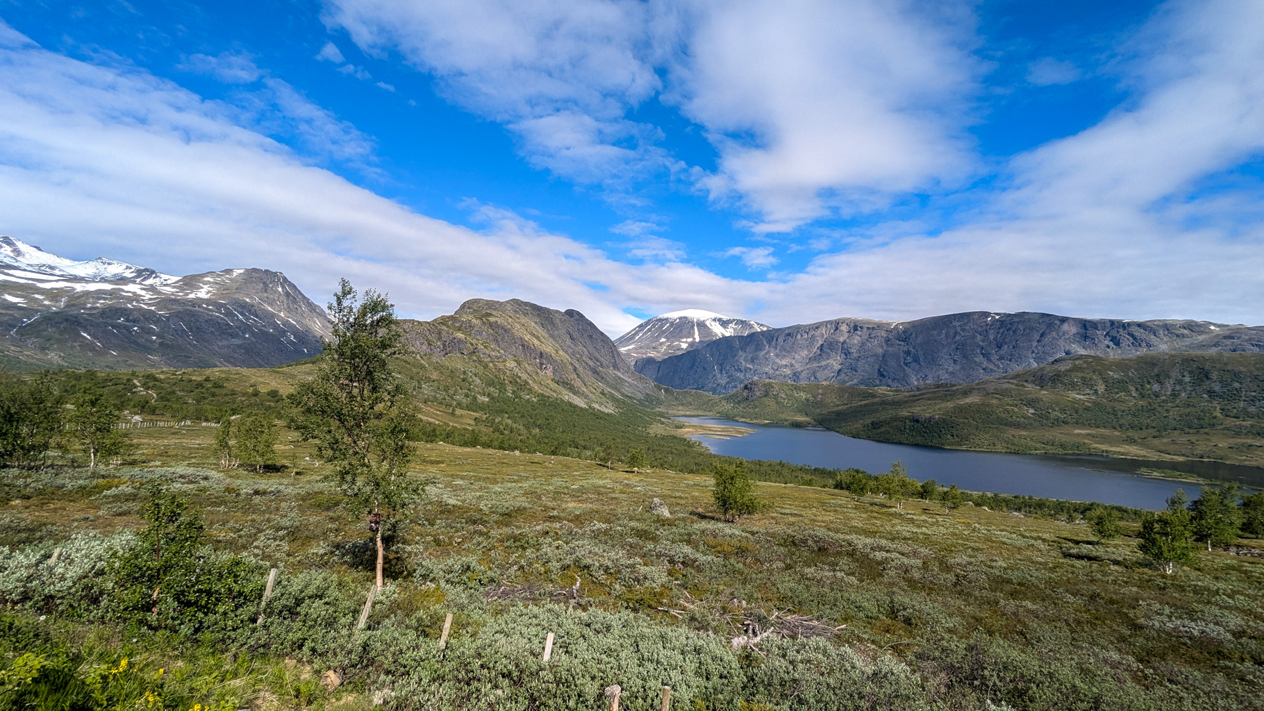
Photo 1: View of Knutshøe and Lake Nedre Leirungen from the car park by the main road.
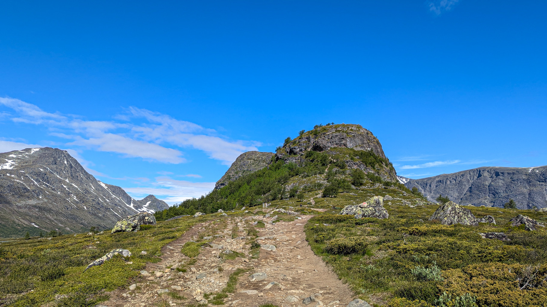
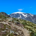
Photo 2: Start of the ascent to the Knutshøe ridge along a marked trail.
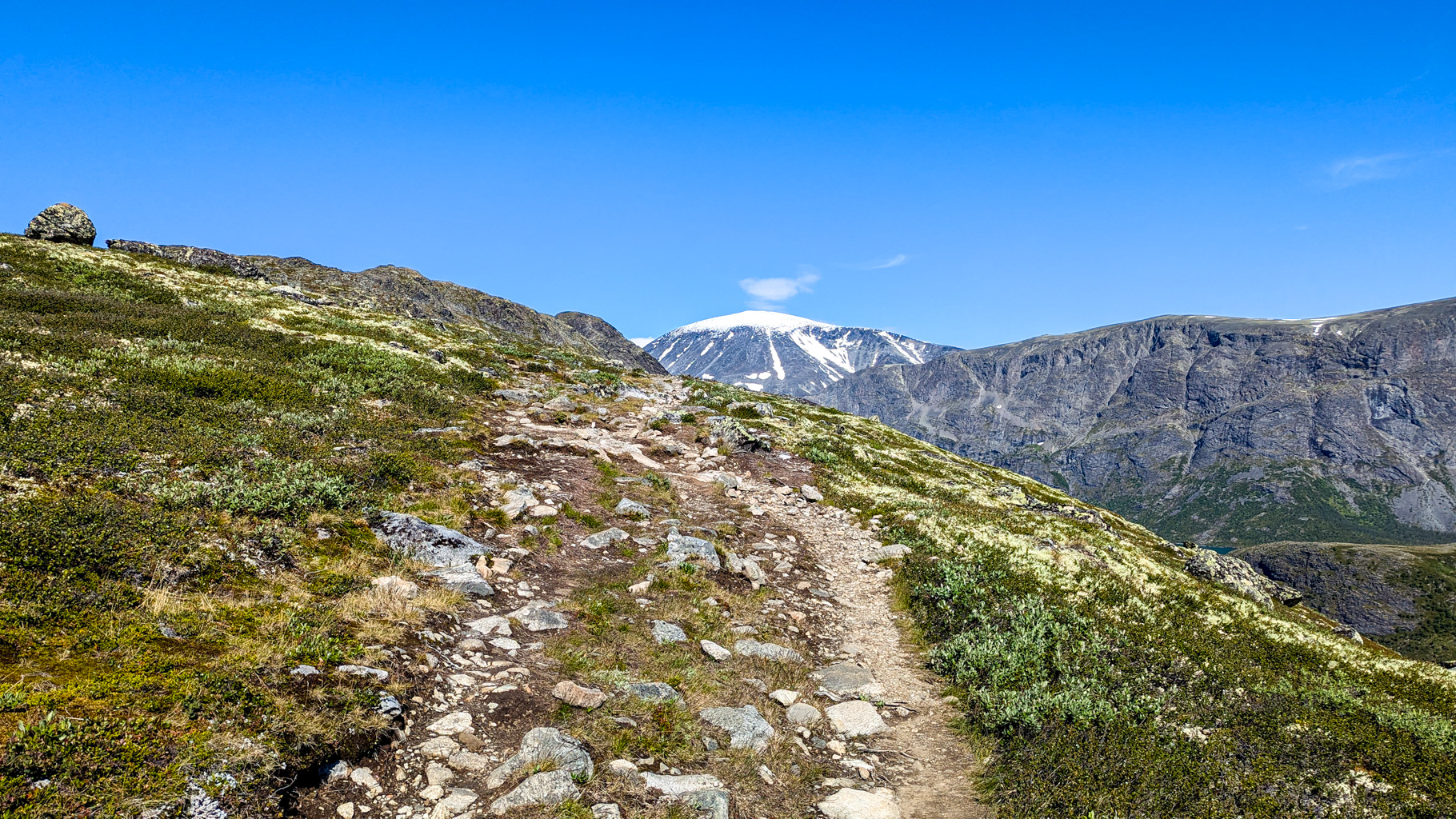
Photo 3: Ascending the ridge with a view of the Besshø massif in the background.
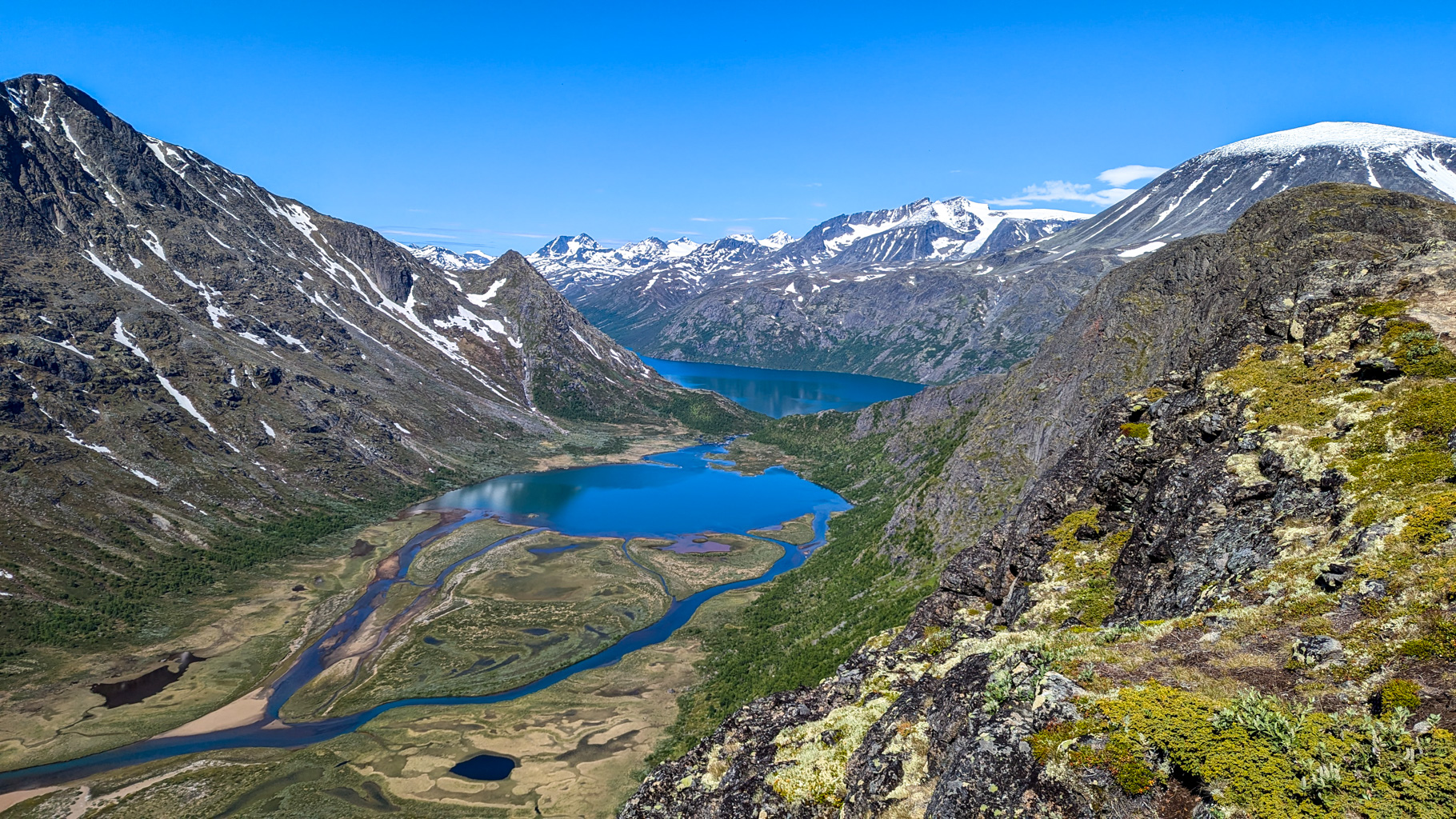
Photo 4: View from the ridge of Lake Øvre Leirungen on the left side.
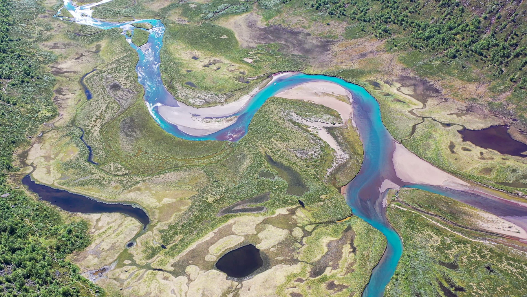
Photo 5: The meandering Leirungsåe river below the Knutshøe ridge.
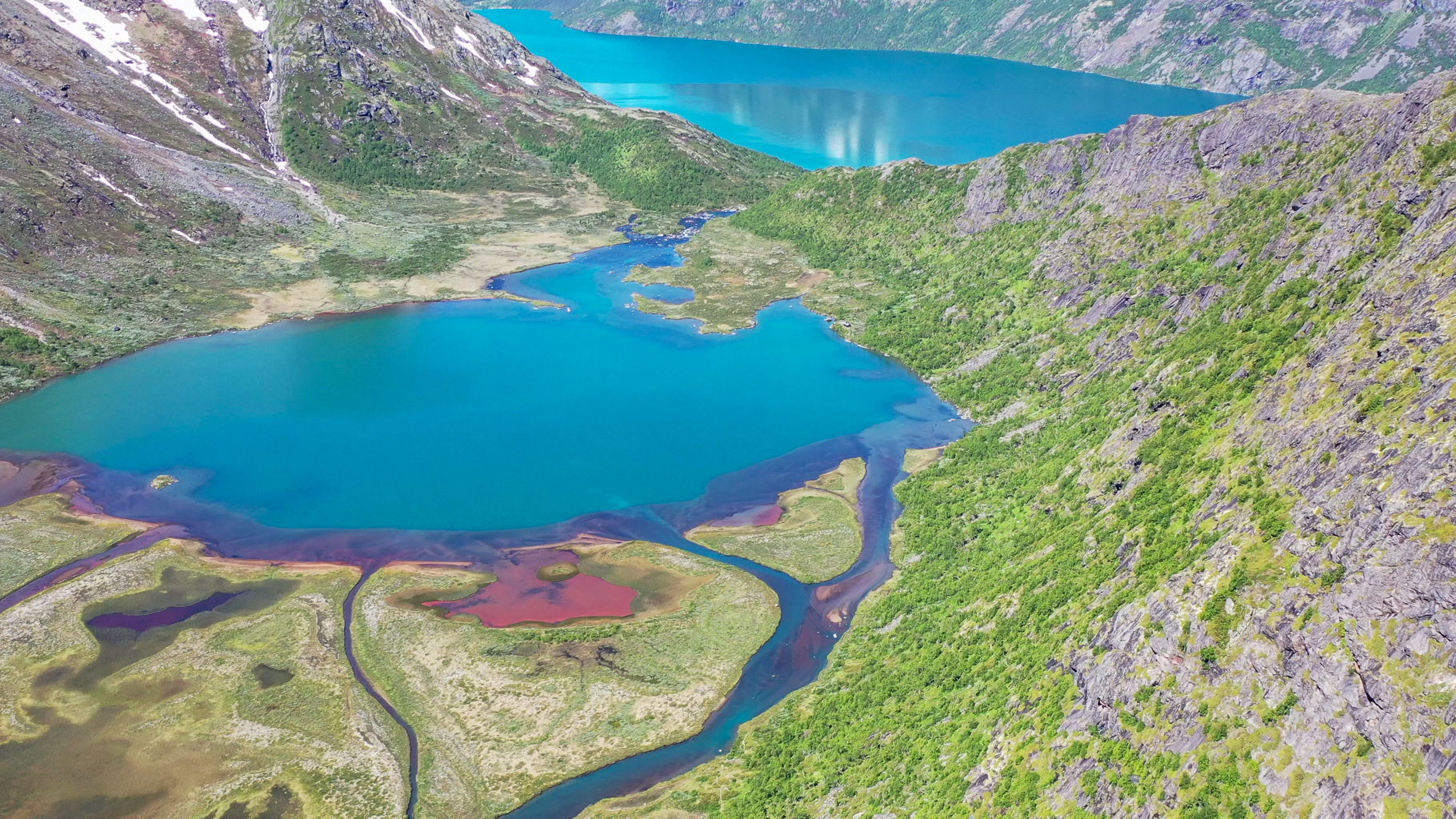
Photo 6: Lake Øvre Leirungen and the river mouth below the ridge.
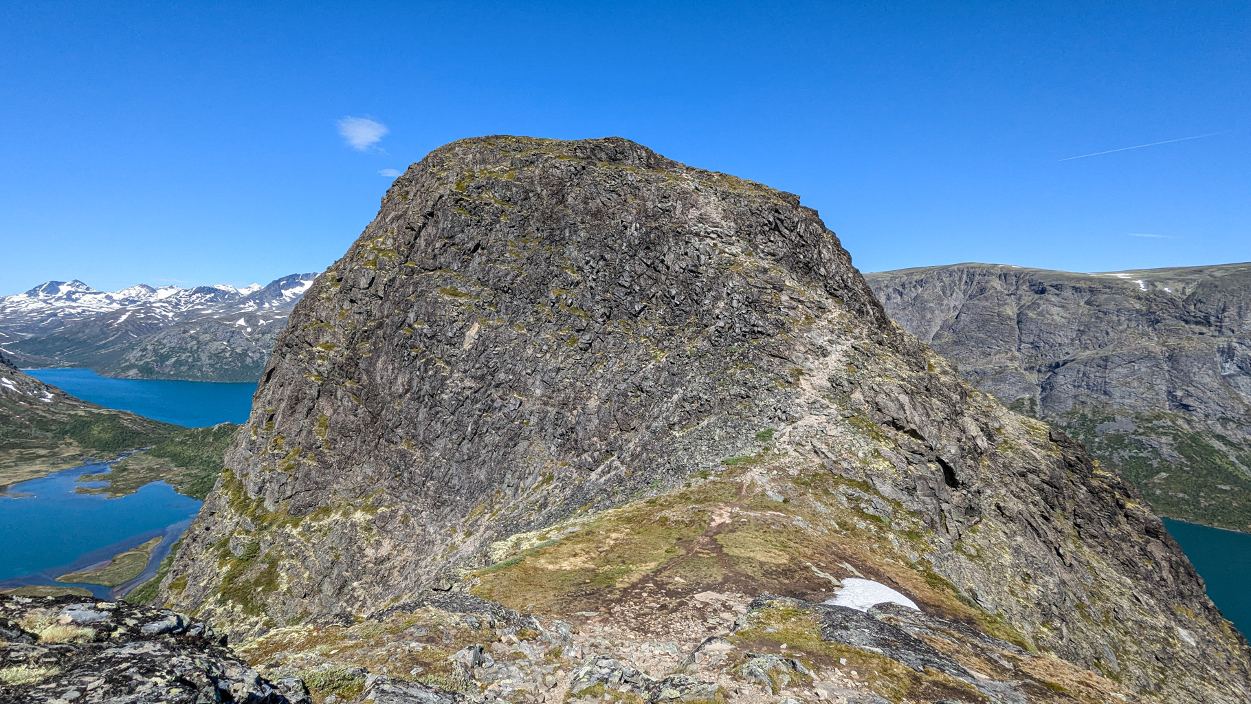
Photo 7: The highest point of the Knutshøe ridge with views of the surroundings.
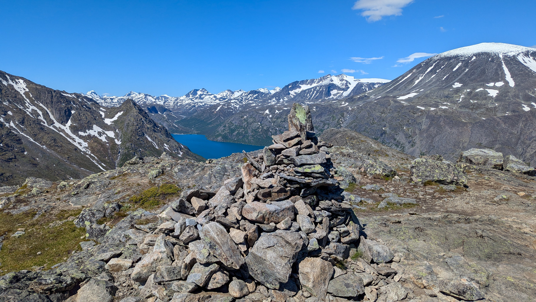
Photo 8: A stone cairn marking the summit of Knutshøe (1,517 m).
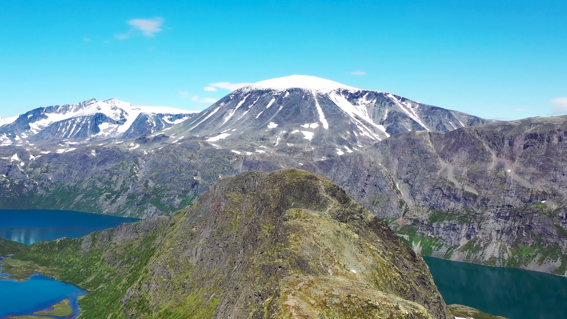
Photo 9: View from the ridge towards the Besshø massif.
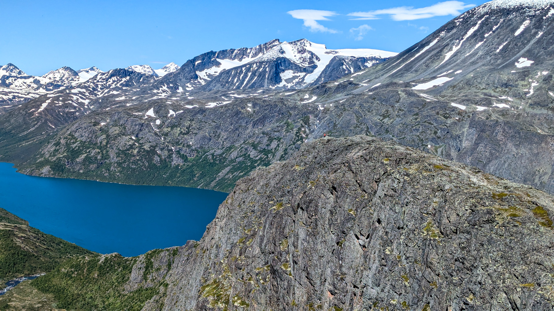
Photo 10: Looking ahead at the final section of the ridge traverse.
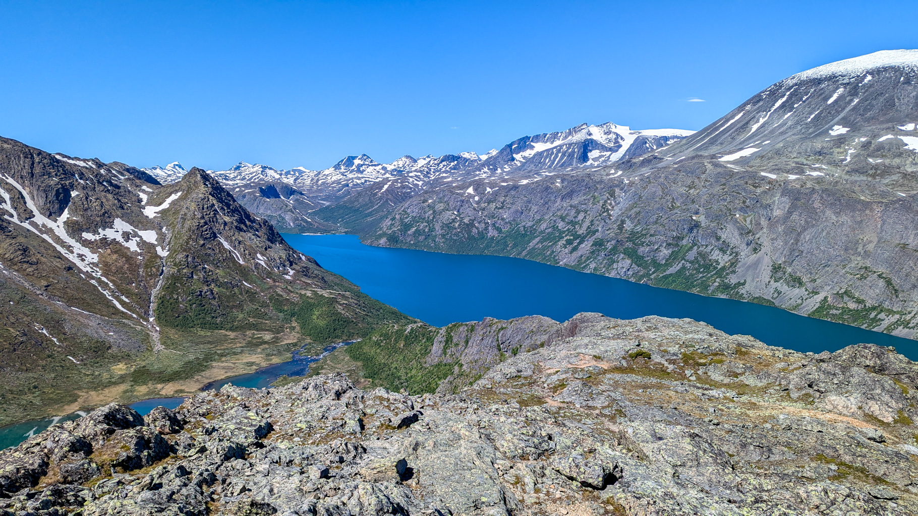
Photo 11: View from the Knutshøe ridge looking east shows Lake Gjende and the return route to the Leirungsdalen valley.
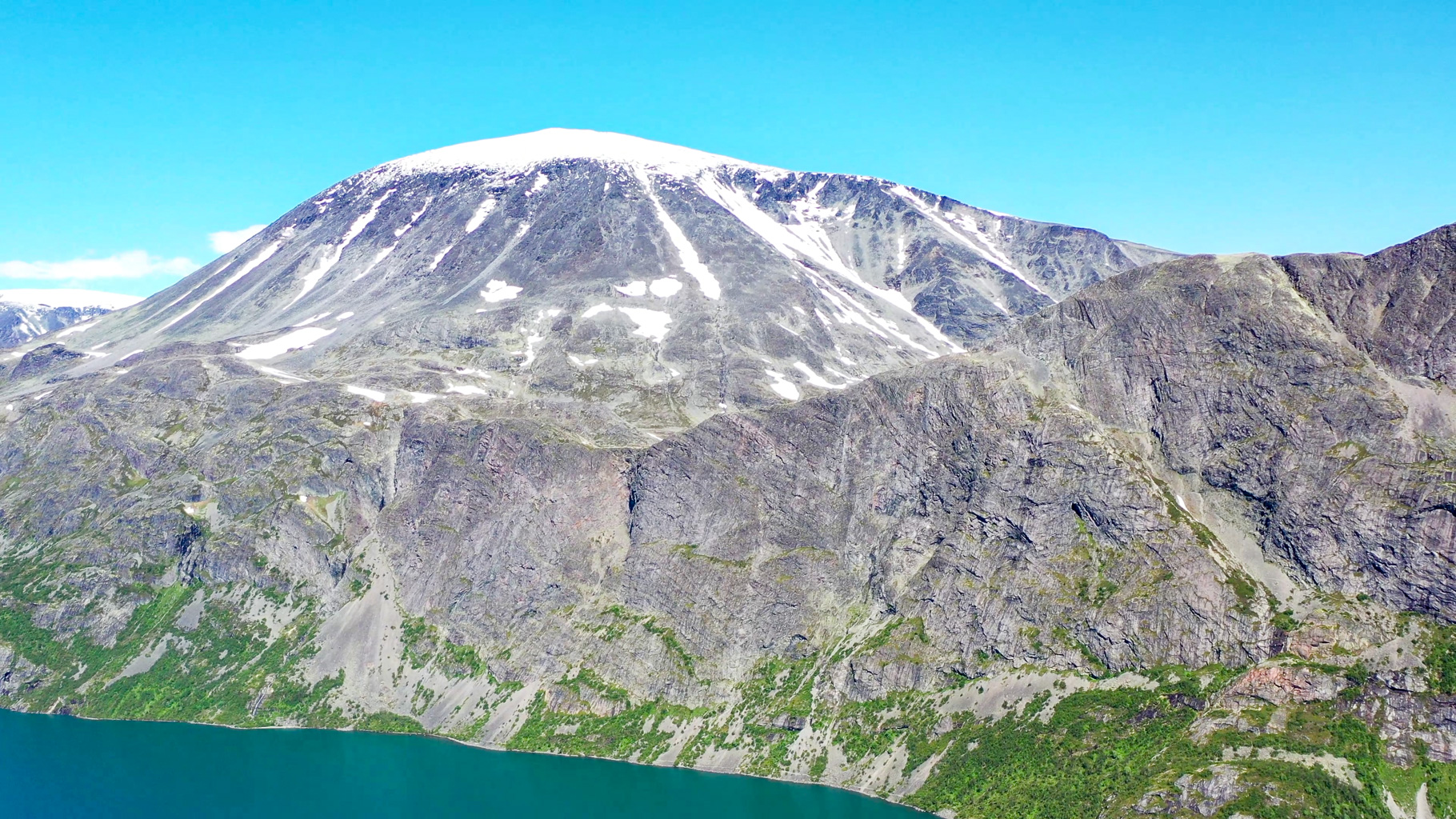
Photo 12: The Besshø massif (2,258 m) dominates the view from the Knutshøe ridge. The summit is a popular destination in the Jotunheimen area.
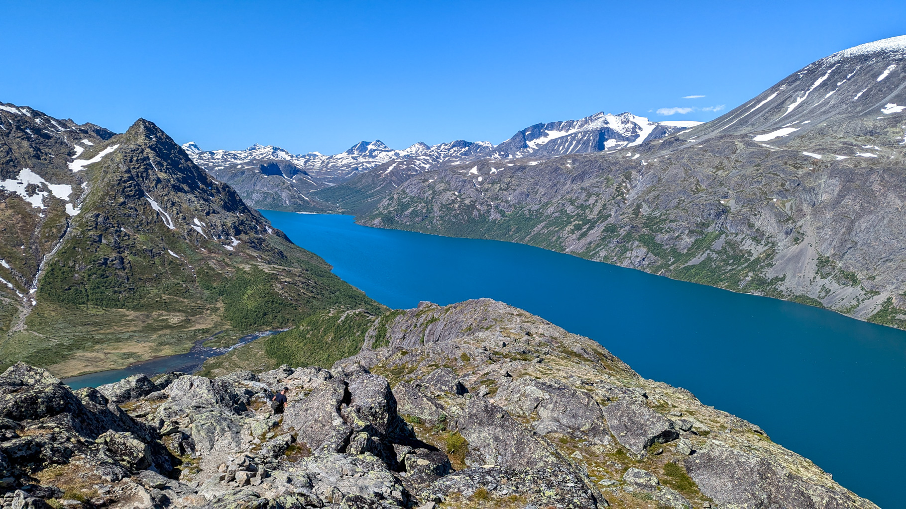
Photo 13: Lake Gjende, of glacial origin, with the Jotunheimen peaks Surtningssue and Sørtoppen in the background.

Photo 14: End of the descent from the Knutshøe ridge to Lake Øvre Leirungen. The turquoise colour of the water is caused by glacial sediment.
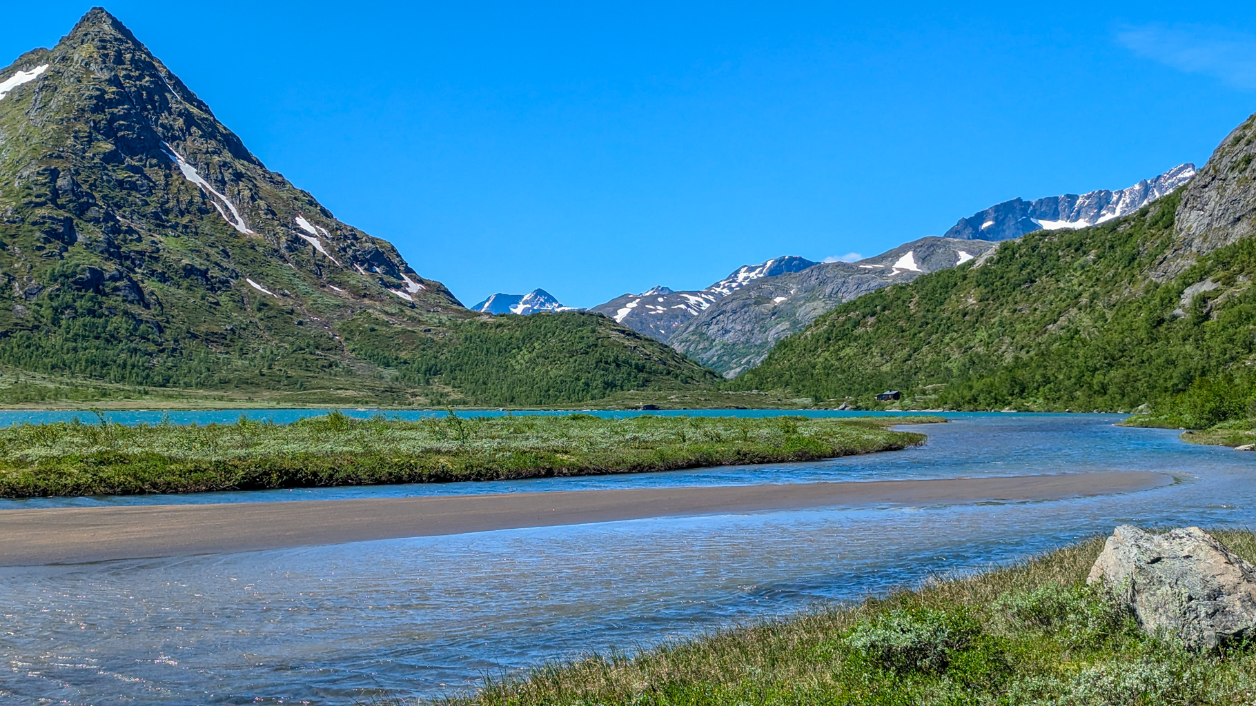
Photo 15: The valley below Knutshøe, through which the Leirungsåe river flows. The route follows unmarked but passable terrain.
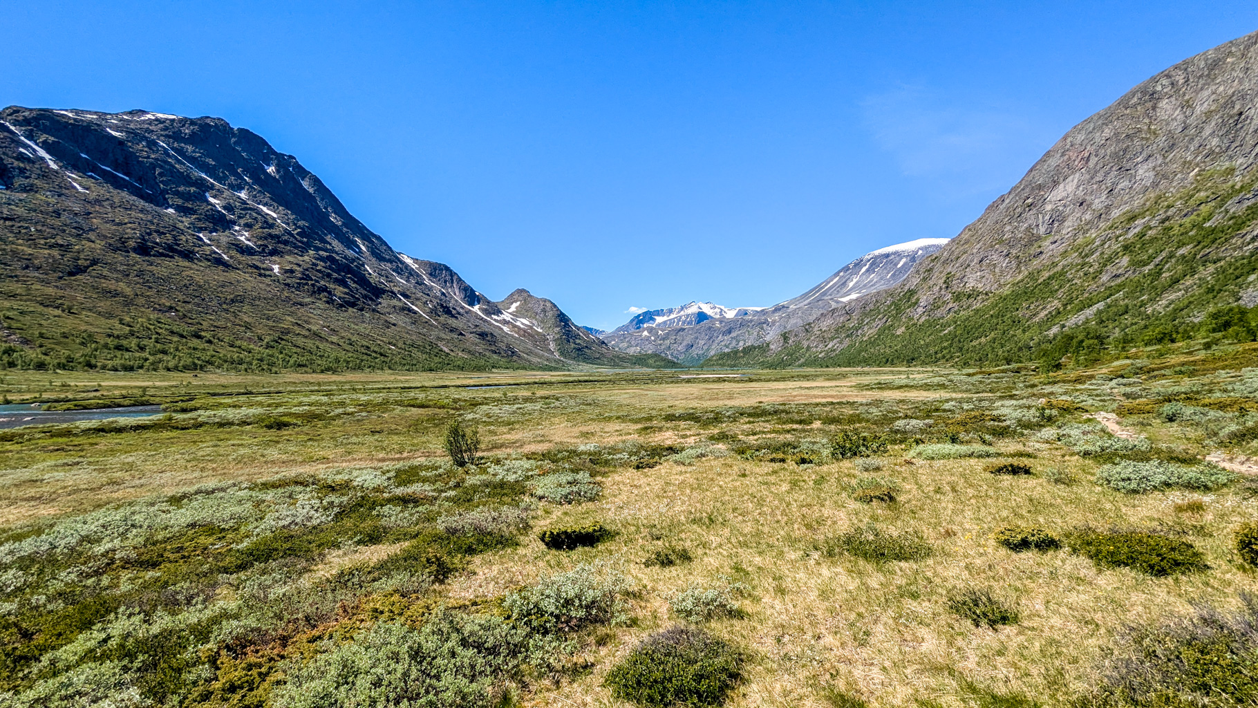
Photo 16: The vast Leirungsdalen valley below Knutshøe. View westward along the return route.
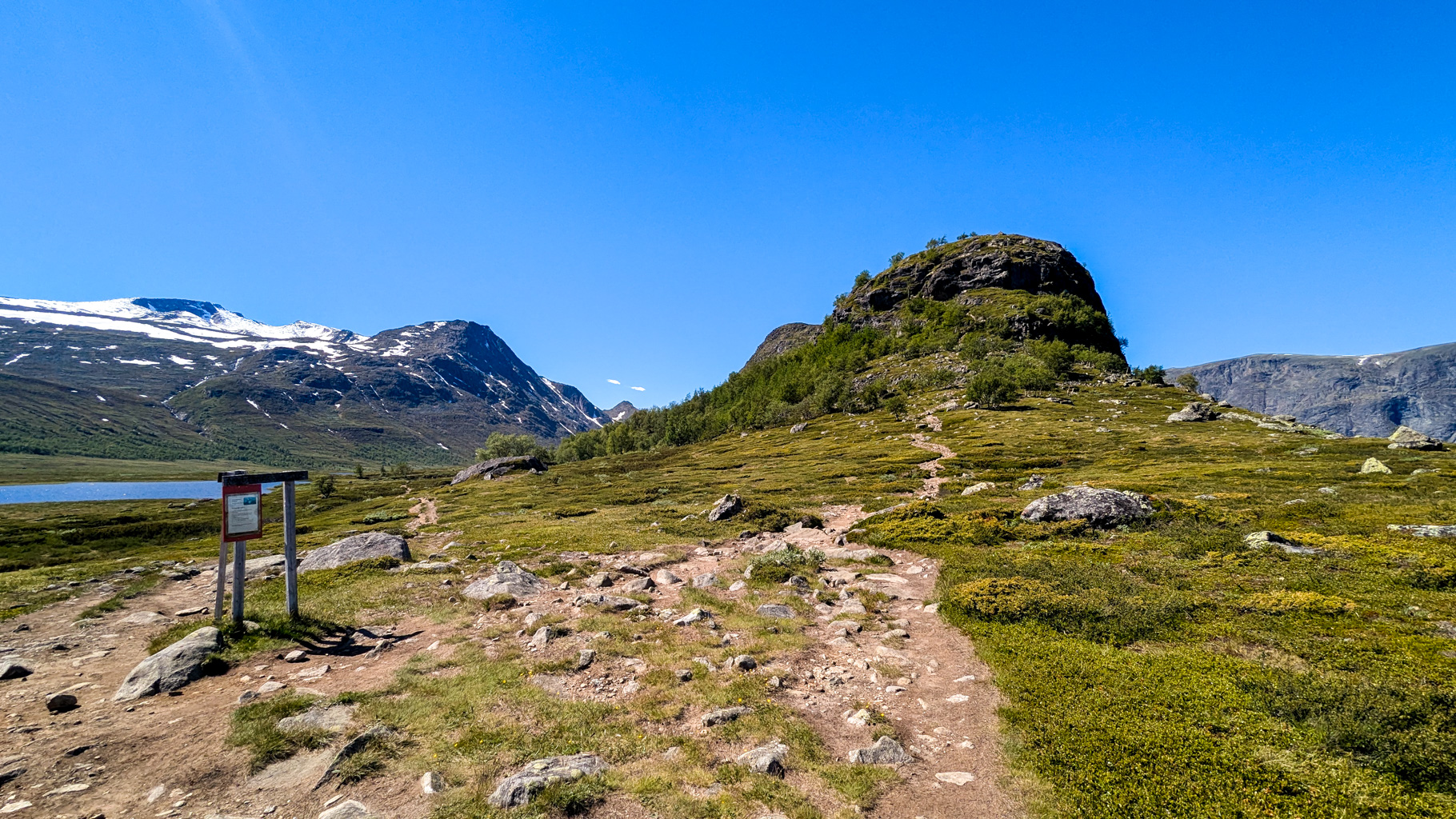
Photo 17: The point where the ascent and return trails meet near Øvre Leirungen. Closing the hiking loop.
Video from the Knutshøe ridge hike.